 iOS · Weather
Canada Weather
Radar, satellite imagery, and aviation weather charts for Canada and North America — all in one place.
iOS · Weather
Radar, satellite imagery, and aviation weather charts for Canada and North America — all in one place.
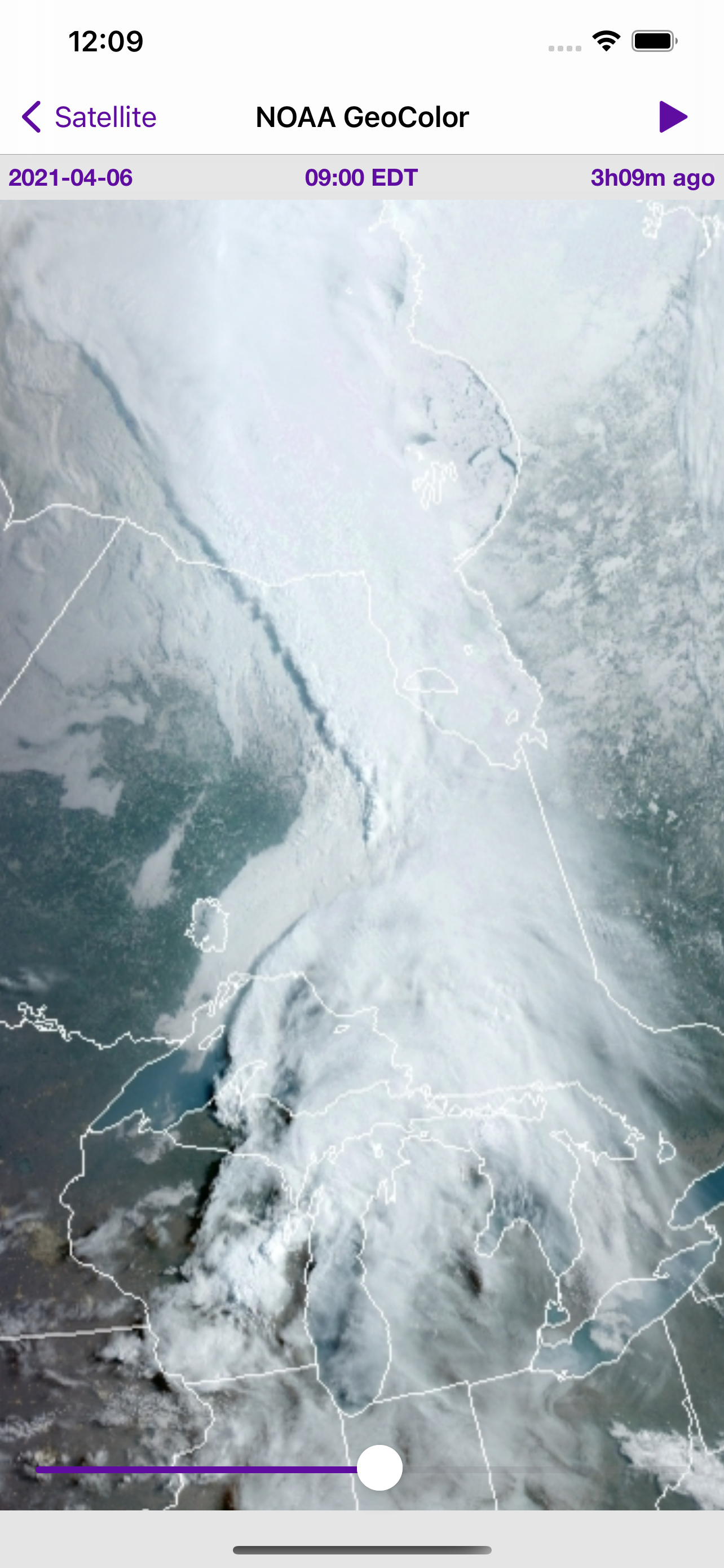
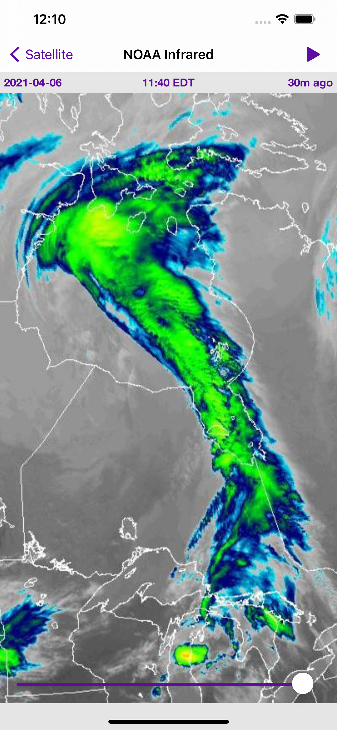
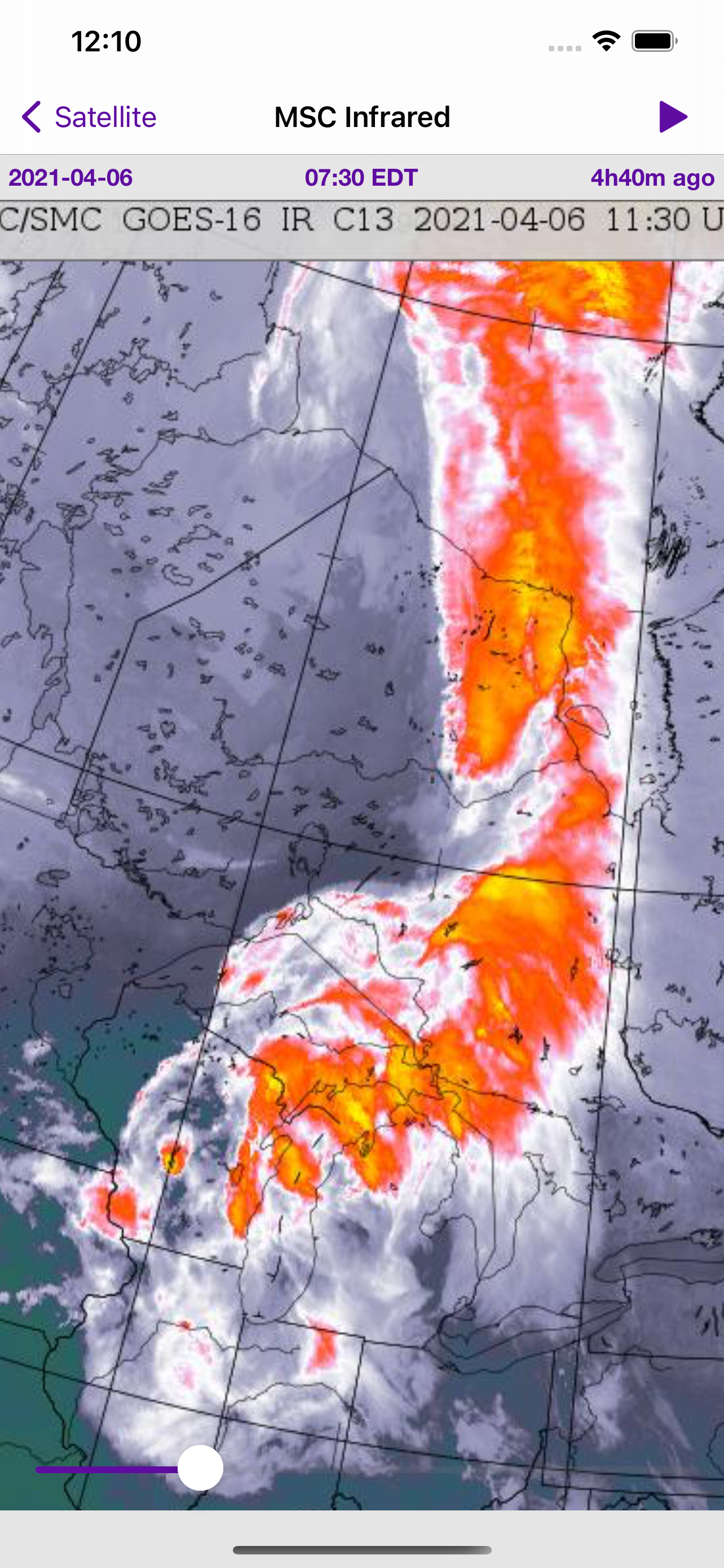
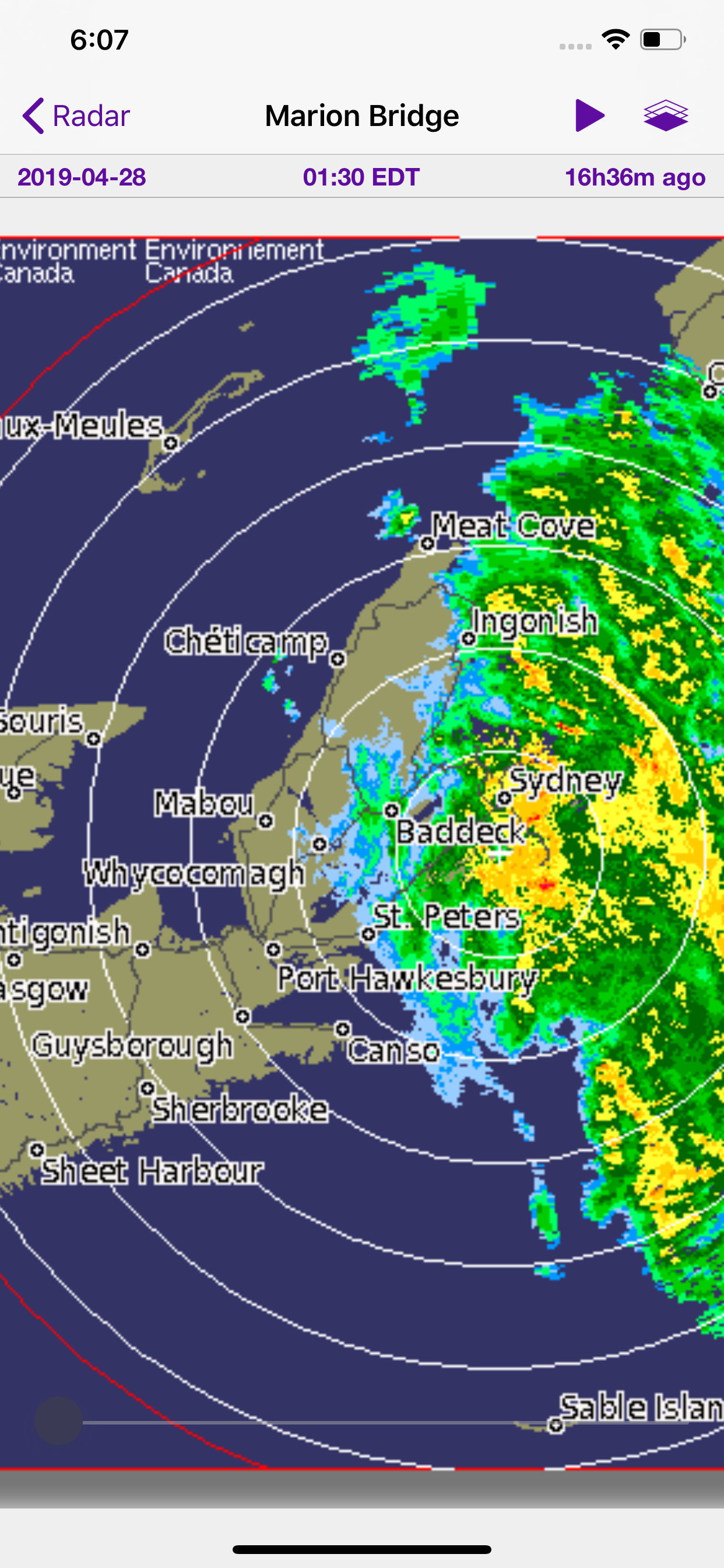
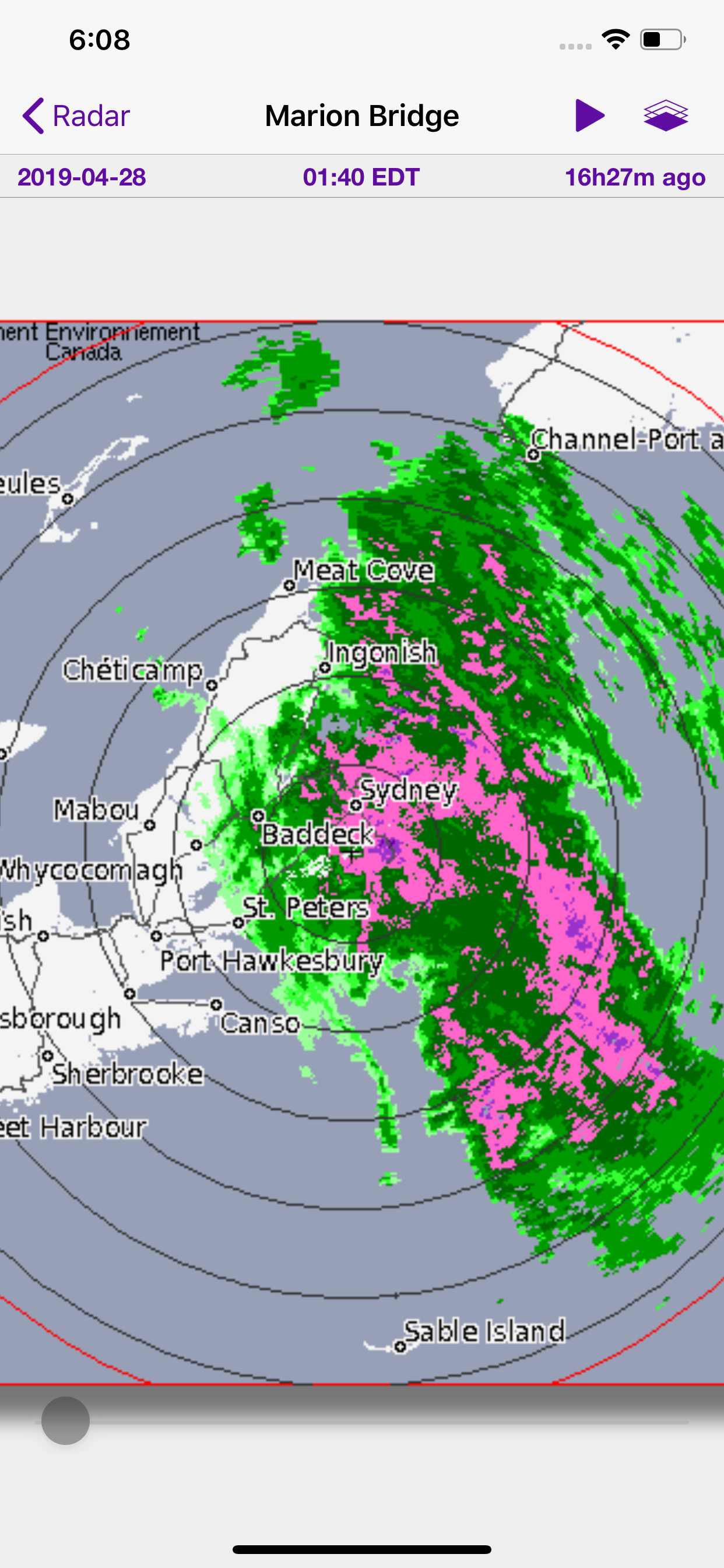
Environment Canada, NAV CANADA, NOAA, and MSC data in a single app — whether you're a pilot checking GFAs or just trying to decide if the weekend is worth it.
01
Animated radar with North American coverage including Alaska and Hawaii. Visualize precipitation rate and type with calibrated rain/snow detection — overlaid on your choice of map style.
02
31 nationwide stations with up to 100 frames of animation in Dual Polarization QPE format. Station-specific overlays let you drill into local conditions with precision.
03
GOES-19 satellite data in visible light and infrared, sourced from both MSC and NOAA. Six-hour animations cover Canada and most of the continental USA.
04
Surface Analysis and Graphical Area Forecast (GFA) charts with 12-hour regional forecasts. Pressure systems, fronts, precipitation, and icing data — side by side for easy comparison.
05
Data pulled directly from Environment Canada, NAV CANADA, NOAA, and the Meteorological Service of Canada.
06
Tune animation speed, frame delay, radar opacity, and map selection to match how you prefer to read weather. Set it up once and it stays out of your way.
Radar, satellite, and aviation charts. Everything you need to read the sky.
Download on the App Store